Our Mission: To provide quality, timely and cost effective geomatics services tailored to our clients needs in a professional manner while taking pride in the work products and services provided to our clients satisfaction.
Qualifications:
- Over 36 years of professional experience in the industry with many successfully completed surveying / geomatics projects provided to both public and private sector clients.
- Experienced licensed professionals, project managers, survey crews and mapping staff.
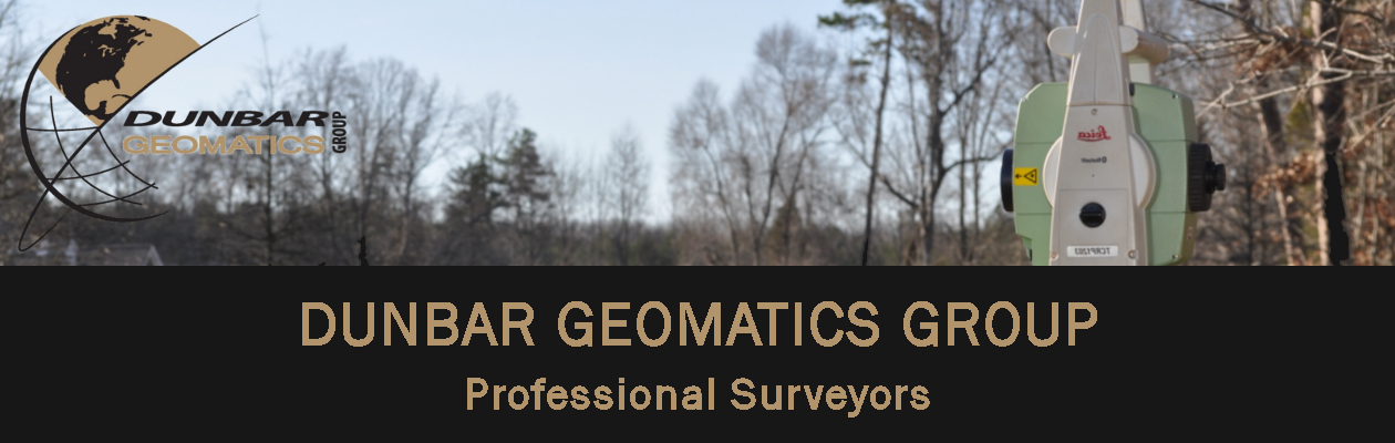
- State of the art surveying equipment, including dual frequency GPS receivers with both static and real time kinematic (RTK) capabilities; robotic total stations; reflectorless instruments; and laptop computers.
- Full suite of surveying and mapping software including AutoCAD, Carlson Civil Suite, Carlson Survey, Leica Geomatics Office and ArcView.
- Demonstrated ability to deliver surveying, mapping and GIS/CADD products on time and within budget.
- Field crews are extremely mobile and self sustaining with ability to upload and download files to the office when needed when traveling out of town on a project via modem and laptop computer.
For more information about the company Owner/Manager, Mr. Dunbar, please see his LinkedIn account here.